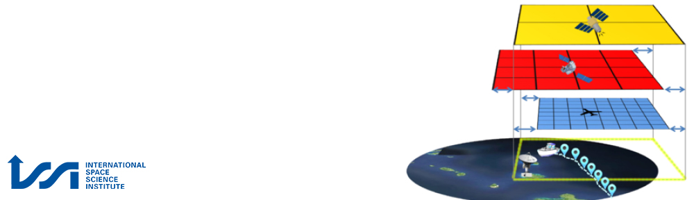
Solving the point2area problem is a prerequisite and key to meaningful validation and evaluation of remotely sensed climate data records across the disciplines of geoscience. Typically, EO data comparison (e.g. remote sensing vs. in-situ) is hindered by disparate spatio-temporal mismatches or scale dependencies both of which in turn affect the results of validation efforts. The complexity of the point2area problem grows significantly with increasing spatio-temporal variability and intermittency of the Essential Climate Variable (ECV) investigated (e.g. sea surface temperature vs. precipitation). To date, there is no unique way of treating the point2area problem. Hence, each science community employs different distinct approaches to tackle this issue.
The major objectives of this proposal are therefore to a) foster strong exchange across various scientific disciplines, b) to review existing methods, c) to publish a white paper, d) to streamline commonalities, e) to develop joint methods and tools and f) to provide educational outreach and capacity building. In the long-term the nucleus formation of a point2area Working Group is envisaged at the international level. Future satellite missions and climatological data records are expected to benefit from the joint community effort of this proposal in terms of validation, evaluation, calibration and uncertainty characteristics of retrievals and the scale dependency.