Monitoring Arctic and Antarctic Sea Ice
from Various Satellite Products
| Home |
| Team Members |
| Meetings |
| Publications |
| Location |
| Contact |
| Abstract |
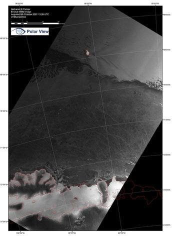
The 14% of the earth’s surface known as the Polar Regions is witnessing change that is unprecedented in modern time due to global warming. Sea ice insulates and influences the heat transfer, mass, exchange of gases and interaction between the atmosphere and ocean. Continuously monitoring the sea ice variations and properties are important for better understanding its relation and contribution to climate change. Primarily due to the vastness, remoteness of the region and the dynamic nature of sea ice mapping, the accurate monitoring of spatial and temporal variations of sea ice cover remains a significant problem. As an example of the dynamic nature of sea ice, ice motion causes floes to collide and deform while at the same time creating areas of open water between floes, quantified as either the open water or ice concentration fraction. Sea ice thickness, its spatial extent and the fraction of open water within the pack ice zone can vary rapidly and profoundly in response to changes in weather, climate, and ocean currents. In winter, cold air temperatures drive new ice growth at the highest rates in open water areas, while in summer, these areas of open water, due to their low albedo, absorb solar radiation and warm up, thereby melting ice more rapidly. While satellite remote sensing has provided and has great future potential to monitor the variations and changes of sea ice, uncertainties remain unresolved. Satellite remote sensing data, in principle, allows for detection of changes in ice concentration and ice extent, ice type, ice thickness, and ice drifts over large areas. These parameters are usually derived independently from single sensors. Passive microwave sensors (such as, the Advanced Microwave Scanning Radiometer - Earth Observing System - AMSR-E) and active microwave sensors (e.g., Advanced Synthetic Aperture Radar - ASAR, Radar Satellite - RADARSAT, Quick Scatterometer – Quikscat, and Cryosat-2), unhampered by cloud cover and darkness, are particularly well suited to obtain large spatial and long temporal records of sea ice concentration, extent, drift, ice types, and ice thickness with good continuity. There are also relatively high spatial resolution visible and infrared sensors (such as, Moderate Resolution Imaging Spectroradiometer - MODIS) to extract additional information about the ice cover. Last but not least, the NASA’s Ice, Cloud, and Land Elevation Satellite (ICESat) provides information on surface elevations of sea ice or snow on sea ice, which can be used to derive snow/ice freeboard and then overall ice thickness in unprecedented spatial resolution (70 m). Understanding those satellites and derived geophysical products and their accuracies is therefore crucial for the long term monitoring of sea ice and for comparison with model predictions. |