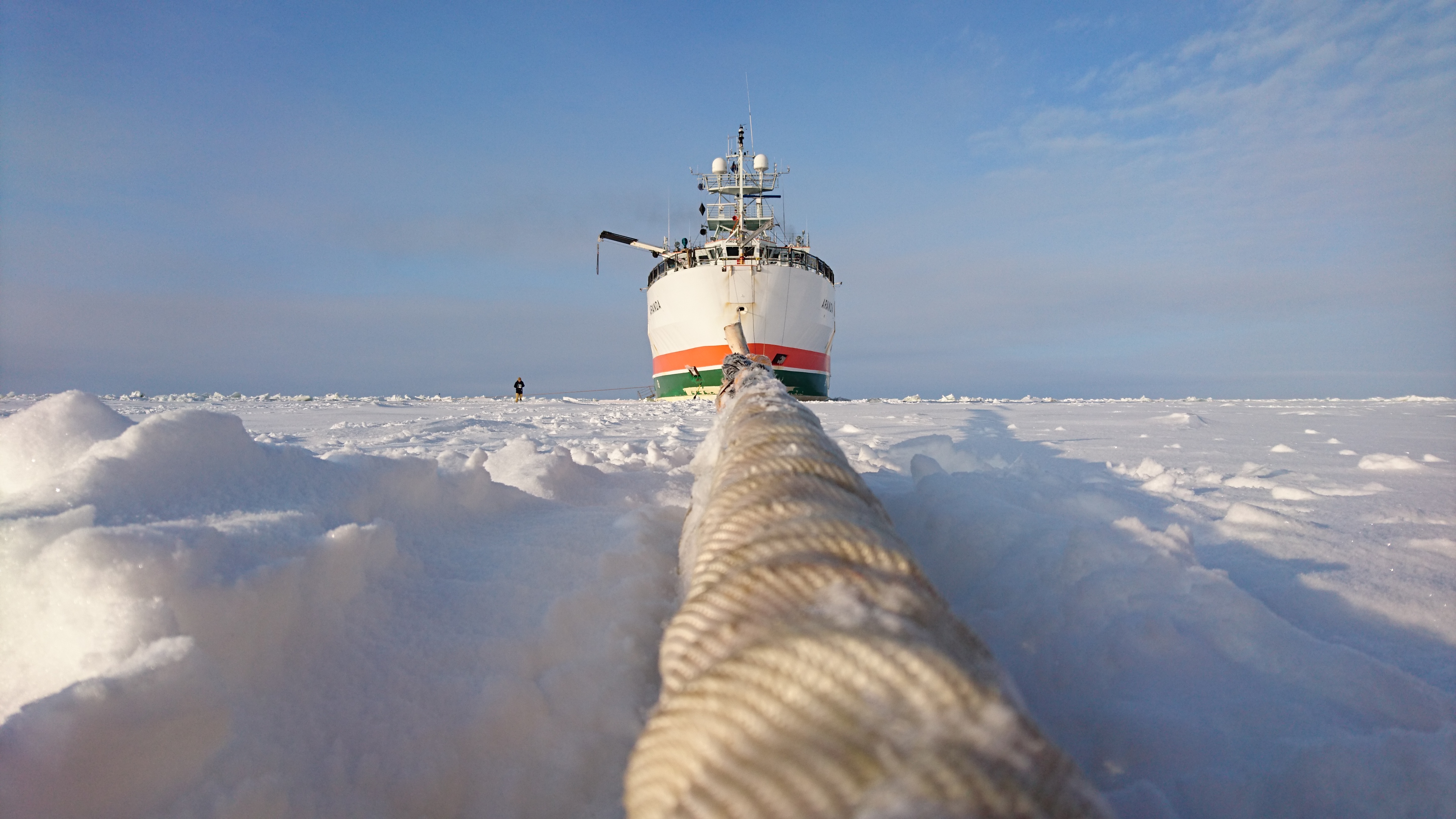
The ISSI team on extension and improvement of mean sea surface estimates in the Arctic regions works on pushing the latitude limit where sea level estimates can be reliably measured with satellite altimeters further towards the poles. The team consists of scientists working on both sea level estimation and sea ice remote sensing. Sea ice and sea level are intertwined – sea ice is a source of uncertainty for sea level observations and an accurate estimate of mean sea level is needed for sea ice thickness estimates.
The team has had two workshops at ISSI Bern: First one in June 2015 and another one in May 2017. The co-operation of the team has materialised in scientific peer-reviewed publications. The main outcome of the team is a roadmap for future European satellite missions to map sea level and sea ice in the polar areas – to be published in the fall 2017.