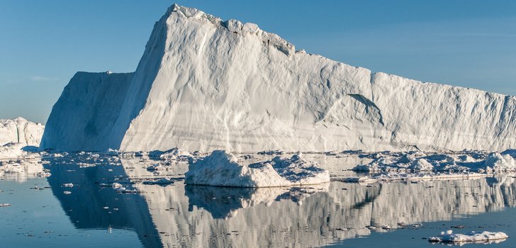
New study: The spatial variability of the surface mass loss of the Greenland ice sheet affects the entire ocean ! >>>
Tide gauge records and satellite altimetry indicate that sea level is rising fast since 1900 (>20cm since 1900) in response to global warming and anthropogenic greenhouse gases (GHG) emissions (IPCC, 2013), while geological records reveal much lower rates over the past 3000 years (Kemp et al. 2011). State-of-the-art Ocean-Atmosphere General Circulation Models (GCMs) show that this rise will continue and likely accelerate in the future if GHG emissions continue to rise. GCM projections of future sea level rise range from +26 cm to +82 cm (years 2081-2100 relative to 1986-2005), depending on the warming scenario of the 21 st century and the GCM considered (IPCC, 2013). These significant increases in sea level will likely have severe impacts on low-lying islands and coastal zones (Nicholls and Cazenave 2010). To adapt and prepare for these impending changes, it is essential to assess these potential future impacts. However, it is still challenging to do so because the uncertainty in future sea level rise projections is large. For example, for a medium-range 21 st century warming scenario (RCP 4.5), GCMs project a future global mean sea level change towards the end of this century between +32 cm and +63 cm. Highlighting the uncertainty in particular of 21 st century ice sheet melt, other projections reveal the possibility for even higher sea level changes above 1 meter (e.g., Perrette et al., 2013).
The objective of this ISSI proposal is to (1) evaluate state-of-the-art GCMs against observations of sea level rise and (2) select those models, which best simulate the observed sea level changes and its contributors over the last 100 years. Our goal is to assess both the regional and global sea level rise in historical runs of GCMs (1860 through 2005/2014) by carefully comparing models with observations with a particular focus on near-global satellite observations.
In a first step we propose to estimate the 20 th century sea-level rise and its contributors from the Climate Model Inter-comparison Project phase 5 (CMIP5) GCMs simulations. The contributors to sea level over the 20 th century are essentially ocean warming, glacier melt, land water storage changes and changes in Greenland surface mass balance. We will then compare these estimates with observations of sea level (from satellite altimetry and tide gauge records) and its contributors (observed with ocean temperature records, ocean reanalyses, space gravimetry, satellite altimetry over ice sheets, in situ observations of glacier length changes, glaciers and ice sheet models forced with atmospheric reanalyses). At the end of the project we will be able to select those CMIP5 GCMs that best simulate the observed 20 th century sea level rise. This study should open the way to future research based on the subset of validated GCMs towards 1) the development of new projections of sea level rise over the 21 st century with reduced uncertainties 2) refined characterization of the sea level variability at 1-30 year time scales 3) enhance detection/attribution studies in the satellite altimetry and tide gauge signals 4) and provide valuable input for the optimal design of future Earth observing systems. In this framework, an ISSI international team appears to be the best tool to gather our expertise into a common project that will provide feedbacks on both climate models and satellite observations for climate studies.
Last update: June 7, 2017
