Within the next few years, a fleet of new satellites will watch the surface of the Earth in unprecedented spectral detail. Known as imaging spectrometers, these instruments split reflected sunlight into hundreds of narrow colour bands, from the visible to the short-wave infrared. This reveals things invisible to the human eye, such as the health of crops and forests, the composition of soils and minerals, and the quality of coastal waters. Missions such as the European Copernicus CHIME and the NASA EAGLE-VSWIR are due to join the satellites already in orbit.
There is, however, a catch. Two satellites looking at the same field at almost the same moment will rarely report exactly the same numbers. The instruments are built differently, calibrated differently, and their raw measurements are corrected for the atmosphere using different methods. Some of these differences are real and expected. Others are hidden errors, and unless every mission states honestly how uncertain its measurements are, nobody can tell which is which.
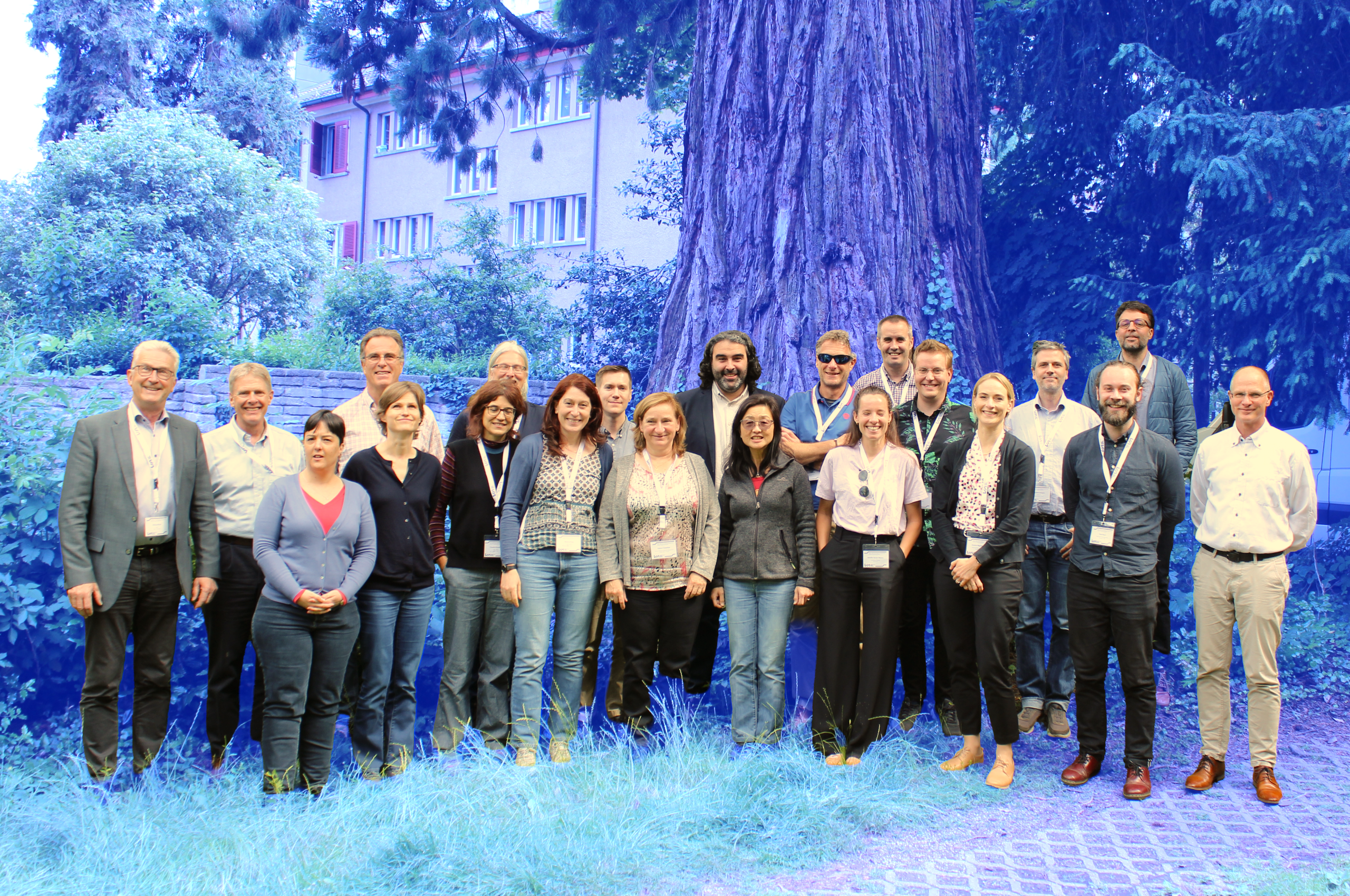
A review paper initiated at an ISSI Forum and now published in the journal Remote Sensing of Environment, argues that harmonising the handling of uncertainties is the key to solving this problem. The first author is Mike Werfeli of the University of Zurich, and the paper has 27 authors from space agencies, national metrology laboratories and universities across Europe, North America, Asia and Australia.